


Saturday, Feb 28, 2026 22:00 [IST]
Last Update: Friday, Feb 27, 2026 16:35 [IST]


GANGTOK,: According to the Land Revenue and Disaster Management department,
from February 9 until February 27, a total of 57 earthquake incidents have been
recorded across the wider Eastern Himalayan region comprising Sikkim, Nepal,
Bhutan, and Tibet. Of these, 41 earthquakes had their epicentres within Sikkim,
in the towns of Mangan, Namchi, Gangtok, and Gyalshing.
The
strongest among them measured 4.6 on the Richter scale, the epicentre being
Gyalshing on Wednesday. The rest ranged between magnitudes of 2.1 and 3.7,
classified as minor earthquakes.
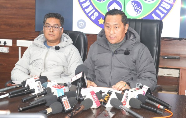
Addressing
a press conference in Gangtok on Friday, Land Revenue and Disaster Management secretary
and State Relief Commissioner Rinzing Chewang Bhutia urged citizens to not
panic, assuring that the State government is fully prepared to respond to
emergencies.
“Earthquakes
cannot be predicted with accuracy, even by technologically advanced countries
like Japan, where earthquakes occur frequently. While Japan has developed early
warning systems capable of providing about 10 seconds of advanced notice,
precise timing and magnitude cannot be predicted. Earthquakes are natural
phenomena that occur along fault lines. The Himalayan belt, including Sikkim,
is a seismic active zone. Such small tremors are not unusual for our region,”
said Bhutia.
The Relief
Commissioner stated that Sikkim, once classified between seismic zone 4 and 5,
has now been upgraded to zone 6, following extensive studies conducted after
the devastating 6.8 magnitude earthquake of 2011. The reclassification shows
the State’s vulnerability as part of the Himalayan seismic belt.
Responding
to media queries regarding reported damages in Geyzing district, the Relief Commissioner
confirmed that minor damages had been reported in two schools. In one case, a
false ceiling panel fell in an examination hall, but no injuries were reported
and the board examinations resumed shortly after inspection.
Sikkim
State Disaster Management Authority (SSDMA), along with District Disaster
Management Authority (DDMA), and concerned district administrations are
conducting spot verifications, and a comprehensive report will be compiled
after verification.
“All
verified damages will be compensated as per the government norms. The Sikkim
government has always stood by its people during the crisis,” he assured.
Bhutia
added that the depth of an earthquake also influences its impact. While many
earthquakes occurs around 20 km below the surface, shallower tremors between 5
km and10 km can result in stronger surface shaking even at lower magnitudes.
Bhutia
informed that the SSDMA, DDMAs and line departments are conducting awareness
camps, school safety programmes, mock drills and disaster management clubs are
being conducted across the State. Village disaster management committees were
encouraged to revive preparedness plans. Relief Materials are stockpiled and
standard operating procedures are in place. He also advised residents to
download the SACHET mobile app for real time disaster alters.
Responding
to concerns about anxiety triggered by frequent tremors, especially in
Gyalshing, Bhutia acknowledged that repeated earthquakes can affect mental
health. Citizens experiencing stress were advised to seek counselling at nearby
PHCs, hospitals or speak openly with family members.
“Small
tremors are part of living in a seismic region. There is no need to panic,” he
added.
The
Relief Commissioner also highlighted the rise in forest fire incidents during
the ongoing dry winter season, many of which are due to human negligence such
as discarded cigarette butts. Residents have been urged to immediately
extinguish small fires and report incidents to forest or police authorities.
In preparation
for the upcoming pre-monsoon season, citizens were advised to clean drains and
water channels to prevent waterlogging and secondary hazards.
Addressing
questions about vulnerable glacial lakes following the 2023 Teesta flooding,
the Relief Commissioner said the State government, in collaboration with the
Science and Technology department, has initiated interventions to mitigate
risks from potential Glacial Lake Outburst Floods.
Work
is currently underway at vulnerable sites in North Sikkim, with plans to extend
mitigation measures to other high risk lakes once ongoing projects are
completed.
Reiterating
the government’s commitment, he concluded, “We are fully prepared. Protocols
are in place. Our focus is on preparedness, awareness and coordinated response.
The people of Sikkim should remain alert but calm.”
BOX
Public Advisory - Key safety
measures
1. During tremors, people should practice the
“Drop, Cover and Hold On” technique by dropping to their knees, covering their
head and neck, and holding onto sturdy furniture. Residents should identify
safe spots within homes, such as under strong tables, corners or concrete
pillars and beams.
2. After shaking stops, electricity and gas
connections should be switched off to prevent fire hazards. People are advised
to move to open areas away from trees, electric poles and buildings, as
aftershocks may follow.
3. Loose objects such as flower pots and heavy
items placed above beds should be secured.
4. Families are encouraged to discuss
evacuation routes and emergency plans in advance.
5. The Relief Commissioner also warned against
spreading rumours on social media, stressing that misinformation can heighten
anxiety.